
新高乡 topographic map
Interactive map
Click on the map to display elevation.
About this map
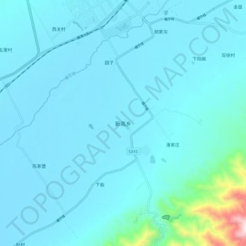
Name: 新高乡 topographic map, elevation, terrain.
Location: 新高乡, 代县 (Dai), 忻州市 / Xinzhou, Xanxim, RPC (38.98607 112.92161 39.06607 113.00161)
Average elevation: 2,982 ft
Minimum elevation: 2,746 ft
Maximum elevation: 5,682 ft