Colonia Virgen topographic map
Interactive map
Click on the map to display elevation.
About this map
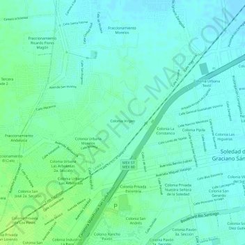
Name: Colonia Virgen topographic map, elevation, terrain.
Average elevation: 6,086 ft
Minimum elevation: 6,066 ft
Maximum elevation: 6,109 ft

Click on the map to display elevation.
Name: Colonia Virgen topographic map, elevation, terrain.
Average elevation: 6,086 ft
Minimum elevation: 6,066 ft
Maximum elevation: 6,109 ft