
Smooth Rock Falls topographic map
Interactive map
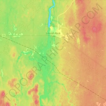
Click on the map to display elevation.
About this map
Name: Smooth Rock Falls topographic map, elevation, terrain.
Average elevation: 814 ft
Minimum elevation: 699 ft
Maximum elevation: 899 ft
Other topographic maps
Click on a map to view its topography, its elevation and its terrain.
Smooth Rock Falls
Canada > Ontario > Smooth Rock Falls
Smooth Rock Falls, Cochrane District, Ontario, Canada
Average elevation: 860 ft