
Atei topographic map
Interactive map
Click on the map to display elevation.
About this map
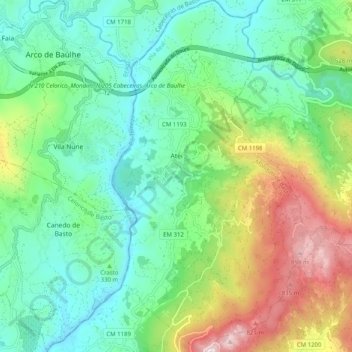
Name: Atei topographic map, elevation, terrain.
Location: Atei, Mondim de Basto, Vila Real, Portugal (41.41643 -7.94385 41.49179 -7.88566)
Average elevation: 1,211 ft
Minimum elevation: 410 ft
Maximum elevation: 3,051 ft