
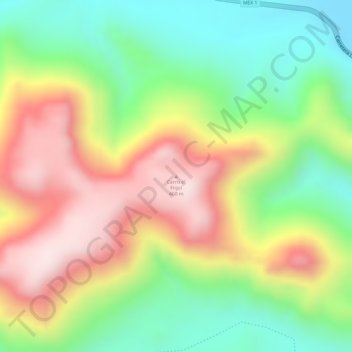
Cerro el Frijol topographic map
Interactive map
Click on the map to display elevation.
About this map
Name: Cerro el Frijol topographic map, elevation, terrain.
Average elevation: 761 ft
Minimum elevation: 16 ft
Maximum elevation: 1,568 ft
Other topographic maps
Click on a map to view its topography, its elevation and its terrain.
Turtle Island
Mexico > Baja California Sur > Municipio de Mulegé
Turtle Island, Municipio de Mulegé, Baja California Sur, Mexico
Average elevation: 174 ft