
Opovo topographic map
Interactive map
Click on the map to display elevation.
About this map
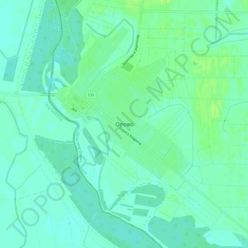
Name: Opovo topographic map, elevation, terrain.
Location: Opovo, South Banat Administrative District, Vojvodina, Serbia (45.02872 20.41318 45.06872 20.45318)
Average elevation: 246 ft
Minimum elevation: 226 ft
Maximum elevation: 272 ft
Other topographic maps
Click on a map to view its topography, its elevation and its terrain.