Geolocate

Hampton topographic map

Click on the map to display elevation.

About this map

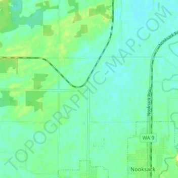
Name: Hampton topographic map, elevation, terrain.

Location: Hampton, Whatcom County, Washington, 98276, United States (48.92206 -122.36210 48.96206 -122.32210)

Average elevation: 79 ft

Minimum elevation: 59 ft

Maximum elevation: 112 ft

Whatcom County trails, hiking, mountain biking, running and outdoor activities

Gear up for your next adventure:

🛶Inflatable Kayak - Portable kayak for rivers, lakes, and expeditions
📶Satellite Messenger - Communication device off‑grid
🔪Outdoor Multitools - Essential survival tools for gear repair and field use
🏕️Tent Footprint - Protect your tent base from wear
🧴Hand Sanitizer - Keep hands clean while hiking

As an Amazon Associate, this site earns from qualifying purchases at no extra cost to you.