
El embalse de Torre de Abraham topographic map
Interactive map
Click on the map to display elevation.
About this map
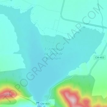
Name: El embalse de Torre de Abraham topographic map, elevation, terrain.
Average elevation: 2,287 ft
Minimum elevation: 2,110 ft
Maximum elevation: 3,314 ft