
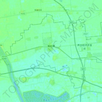
海北镇 topographic map
Interactive map
Click on the map to display elevation.
About this map
Name: 海北镇 topographic map, elevation, terrain.
Location: 海北镇, 芦台经济技术开发区, 路南区, 唐山市, 河北省, 063000, 中国 (39.31372 117.51484 39.41847 117.70053)
Average elevation: 13 ft
Minimum elevation: -7 ft
Maximum elevation: 26 ft
Other topographic maps
Click on a map to view its topography, its elevation and its terrain.