
Punta Tersiva topographic map
Interactive map
Click on the map to display elevation.
About this map
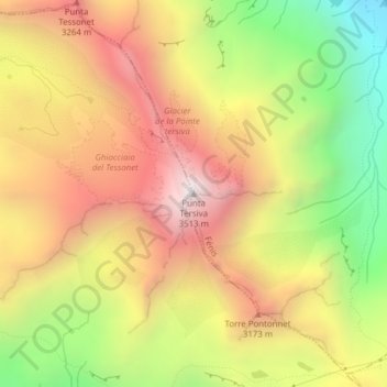
Name: Punta Tersiva topographic map, elevation, terrain.
Location: Punta Tersiva, Cogne, Valle d'Aosta, Italia (45.62026 7.47607 45.62036 7.47617)
Average elevation: 9,413 ft
Minimum elevation: 6,991 ft
Maximum elevation: 11,509 ft