
Stoney Creek topographic map
Interactive map
Click on the map to display elevation.
About this map
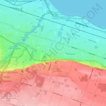
Name: Stoney Creek topographic map, elevation, terrain.
Location: Stoney Creek, Hamilton, Ontario, L8G 3P1, Canada (43.17769 -79.79868 43.25769 -79.71868)
Average elevation: 443 ft
Minimum elevation: 240 ft
Maximum elevation: 722 ft