
Anginda topographic map
Interactive map
Click on the map to display elevation.
About this map
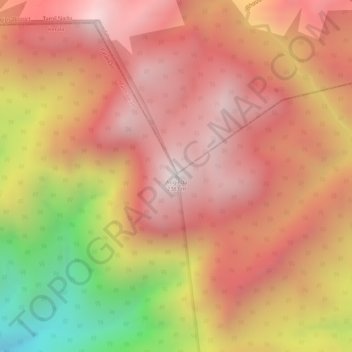
Name: Anginda topographic map, elevation, terrain.
Location: Anginda, Mannarkad, Palakkad district, Kerala, India (11.18742 76.45833 11.18752 76.45843)
Average elevation: 6,696 ft
Minimum elevation: 4,610 ft
Maximum elevation: 7,726 ft
Other topographic maps
Click on a map to view its topography, its elevation and its terrain.
Kottathara
Kottathara, Mannarkad, Palakkad District, Kerala, India
Average elevation: 1,801 ft
Mannarkkad
Mannarkkad, Mannarkad, Palakkad District, Kerala, 678582, India
Average elevation: 262 ft
Silent Valley National Park
Silent Valley National Park, Mannarkad, Palakkad district, Kerala, India
Average elevation: 3,619 ft
Kalladikode
Kalladikode, Mannarkad, Palakkad District, Kerala, 678596, India
Average elevation: 331 ft