
Sungai Kluang topographic map
Interactive map
Click on the map to display elevation.
About this map
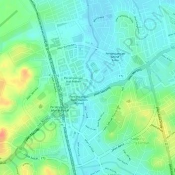
Name: Sungai Kluang topographic map, elevation, terrain.
Average elevation: 138 ft
Minimum elevation: 85 ft
Maximum elevation: 246 ft
Other topographic maps
Click on a map to view its topography, its elevation and its terrain.
Yap Tau Sah New Viilage
Yap Tau Sah New Viilage, Kluang, Johor, 86000, Malaysia
Average elevation: 164 ft
Sungai Mengkibol
Sungai Mengkibol, Kluang, Johor, 86000, Malaysia
Average elevation: 121 ft
Sungai Mengkibol
Sungai Mengkibol, Kluang, Johor, 86000, Malaysia
Average elevation: 121 ft