
Tegernsee topographic map
Interactive map
Click on the map to display elevation.
About this map
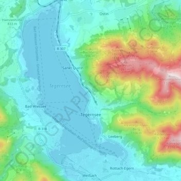
Name: Tegernsee topographic map, elevation, terrain.
Location: Tegernsee, Landkreis Miesbach, Bavière, 83684, Allemagne (47.68892 11.71849 47.74774 11.81328)
Average elevation: 2,815 ft
Minimum elevation: 2,369 ft
Maximum elevation: 4,357 ft