
District of Poprad topographic map
Interactive map
Click on the map to display elevation.
About this map
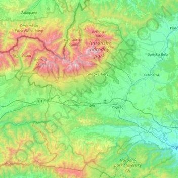
Name: District of Poprad topographic map, elevation, terrain.
Average elevation: 3,304 ft
Minimum elevation: 1,526 ft
Maximum elevation: 8,566 ft
Other topographic maps
Click on a map to view its topography, its elevation and its terrain.
Rysy
Slovakia > Region of Prešov > District of Poprad
Rysy, District of Poprad, Region of Prešov, Eastern Slovakia, Slovakia
Average elevation: 6,581 ft