
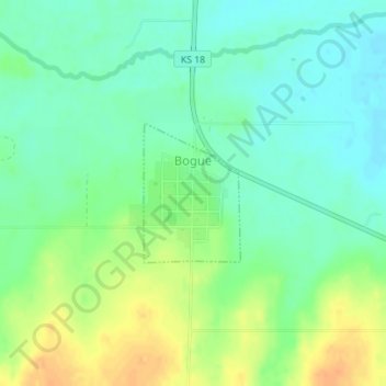
Bogue topographic map
Interactive map
Click on the map to display elevation.
About this map
Name: Bogue topographic map, elevation, terrain.
Location: Bogue, Graham County, Kansas, 67625, États-Unis d'Amérique (39.35533 -99.69180 39.36511 -99.68303)
Average elevation: 2,051 ft
Minimum elevation: 2,005 ft
Maximum elevation: 2,119 ft