
Nanjemoy Natural Resources Management Area Purse Area topographic map
Interactive map
Click on the map to display elevation.
About this map
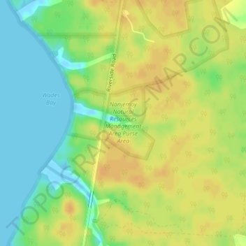
Name: Nanjemoy Natural Resources Management Area Purse Area topographic map, elevation, terrain.
Average elevation: 52 ft
Minimum elevation: -20 ft
Maximum elevation: 92 ft