
Chambal River topographic map
Interactive map
Click on the map to display elevation.
About this map
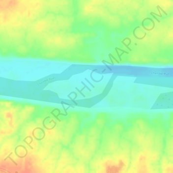
Name: Chambal River topographic map, elevation, terrain.
Average elevation: 404 ft
Minimum elevation: 331 ft
Maximum elevation: 476 ft
Other topographic maps
Click on a map to view its topography, its elevation and its terrain.
Piprauli Garhaia
India > Uttar Pradesh > Piprauli Garhaia
Piprauli Garhaia, Chakarnagar, Etawah, Uttar Pradesh, India
Average elevation: 430 ft