
Sunao topographic map
Interactive map
Click on the map to display elevation.
About this map
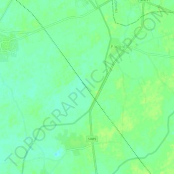
Name: Sunao topographic map, elevation, terrain.
Location: Sunao, Petlad Taluka, Anand District, Gujarat, 388470, India (22.56060 72.80100 22.60060 72.84100)
Average elevation: 115 ft
Minimum elevation: 92 ft
Maximum elevation: 128 ft