
Kacinambun topographic map
Interactive map
Click on the map to display elevation.
About this map
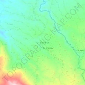
Name: Kacinambun topographic map, elevation, terrain.
Location: Kacinambun, Karo, North Sumatra, Indonesia (3.00861 98.45162 3.04861 98.49162)
Average elevation: 4,085 ft
Minimum elevation: 3,793 ft
Maximum elevation: 4,711 ft