
Kelageri topographic map
Interactive map
Click on the map to display elevation.
About this map
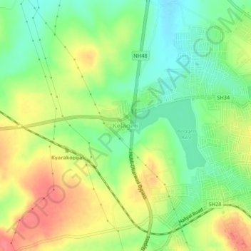
Name: Kelageri topographic map, elevation, terrain.
Average elevation: 2,343 ft
Minimum elevation: 2,238 ft
Maximum elevation: 2,464 ft
Other topographic maps
Click on a map to view its topography, its elevation and its terrain.
Dharwad
India > Karnataka > Dharawada taluku
Dharwad, Dharawada taluku, Dharwad district, Karnataka, 580001, India
Average elevation: 2,152 ft