
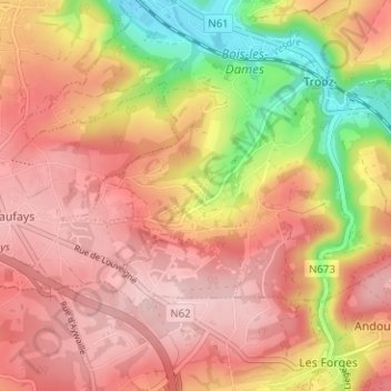
Péry-Hameau topographic map
Interactive map
Click on the map to display elevation.
About this map
Name: Péry-Hameau topographic map, elevation, terrain.
Location: Péry-Hameau, Trooz, Luik, Wallonië, 4870, België (50.54115 5.64864 50.58115 5.68864)
Average elevation: 722 ft
Minimum elevation: 269 ft
Maximum elevation: 988 ft