
錦町 topographic map
Interactive map
Click on the map to display elevation.
About this map
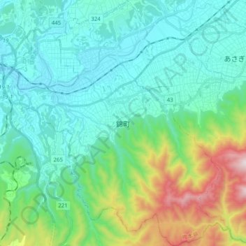
Name: 錦町 topographic map, elevation, terrain.
Location: 錦町, 球磨郡, Prefectura de Kumamoto, 868-0303, Japón (32.12122 130.78122 32.25152 130.91343)
Average elevation: 1,115 ft
Minimum elevation: 335 ft
Maximum elevation: 3,999 ft