
Barika topographic map
Interactive map
Click on the map to display elevation.
About this map
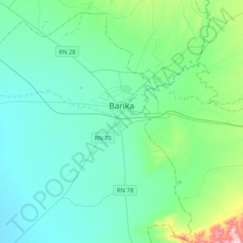
Name: Barika topographic map, elevation, terrain.
Location: Barika, Daïra Barika, Batna, Algérie (35.26799 5.14256 35.47144 5.42111)
Average elevation: 1,670 ft
Minimum elevation: 1,358 ft
Maximum elevation: 3,412 ft