
Tikal National Park topographic map
Interactive map
Click on the map to display elevation.
About this map
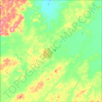
Name: Tikal National Park topographic map, elevation, terrain.
Location: Tikal National Park, Flores, Petén, Guatemala (17.11684 -89.72770 17.33423 -89.50153)
Average elevation: 843 ft
Minimum elevation: 554 ft
Maximum elevation: 1,401 ft