
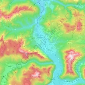
Bad Goisern am Hallstättersee topographic map
Interactive map
Click on the map to display elevation.
About this map
Name: Bad Goisern am Hallstättersee topographic map, elevation, terrain.
Average elevation: 3,189 ft
Minimum elevation: 1,516 ft
Maximum elevation: 6,404 ft
Other topographic maps
Click on a map to view its topography, its elevation and its terrain.
Hallstätter See
Österreich > Oberösterreich > Bad Goisern am Hallstättersee
Hallstätter See, Ostuferwanderweg, Bad Goisern am Hallstättersee, Gmunden, Oberösterreich, 4822, Österreich
Average elevation: 2,992 ft