
Kampung Lubuk Periok topographic map
Interactive map
Click on the map to display elevation.
About this map
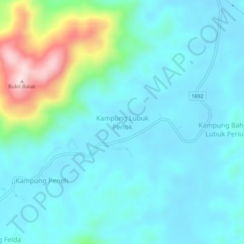
Name: Kampung Lubuk Periok topographic map, elevation, terrain.
Location: Kampung Lubuk Periok, Terengganu, Malaysia (4.87261 103.02924 4.91261 103.06924)
Average elevation: 282 ft
Minimum elevation: 69 ft
Maximum elevation: 1,237 ft