
Dagmar topographic map
Interactive map
Click on the map to display elevation.
About this map
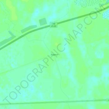
Name: Dagmar topographic map, elevation, terrain.
Location: Dagmar, Monroe County, Arkansas, United States of America (34.83621 -91.32068 34.87621 -91.28068)
Average elevation: 171 ft
Minimum elevation: 151 ft
Maximum elevation: 184 ft