
Cortenoever topographic map
Interactive map
Click on the map to display elevation.
About this map
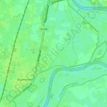
Name: Cortenoever topographic map, elevation, terrain.
Location: Cortenoever, Gelderland, Nederland, 6971, Nederland (52.07708 6.15460 52.11708 6.19460)
Average elevation: 30 ft
Minimum elevation: 10 ft
Maximum elevation: 43 ft