
Sud-Est topographic map
Interactive map
Click on the map to display elevation.
About this map
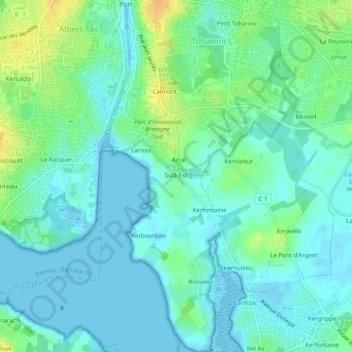
Name: Sud-Est topographic map, elevation, terrain.
Average elevation: 26 ft
Minimum elevation: -10 ft
Maximum elevation: 92 ft
Other topographic maps
Click on a map to view its topography, its elevation and its terrain.
Sud-Ouest - Conleau
Sud-Ouest - Conleau, Vannes, Morbihan, Bretagne, France métropolitaine, 56000, France
Average elevation: 33 ft