
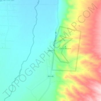
Hilario topographic map
Interactive map
Click on the map to display elevation.
About this map
Name: Hilario topographic map, elevation, terrain.
Location: Hilario, Calingasta, SJ, Argentina (-31.49824 -69.42203 -31.45824 -69.38203)
Average elevation: 5,049 ft
Minimum elevation: 4,760 ft
Maximum elevation: 5,673 ft