
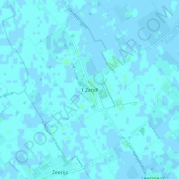
't Zandt topographic map
Interactive map
Click on the map to display elevation.
About this map
Name: 't Zandt topographic map, elevation, terrain.
Location: 't Zandt, Groningen, Nederland, 9915PE, Nederland (53.34592 6.75410 53.38592 6.79410)
Average elevation: 3 ft
Minimum elevation: -7 ft
Maximum elevation: 13 ft