Rahart topographic map
Interactive map
Click on the map to display elevation.
About this map
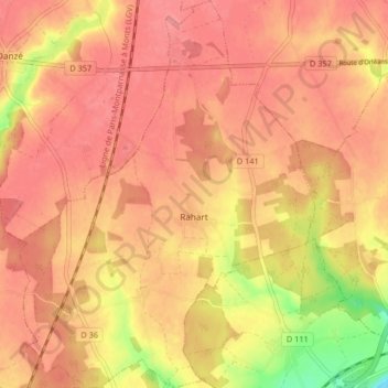
Name: Rahart topographic map, elevation, terrain.
Average elevation: 453 ft
Minimum elevation: 272 ft
Maximum elevation: 522 ft

Click on the map to display elevation.
Name: Rahart topographic map, elevation, terrain.
Average elevation: 453 ft
Minimum elevation: 272 ft
Maximum elevation: 522 ft