
La Cuchilla topographic map
Interactive map
Click on the map to display elevation.
About this map
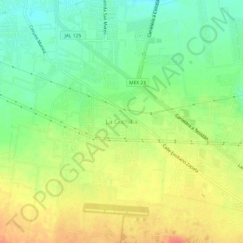
Name: La Cuchilla topographic map, elevation, terrain.
Location: La Cuchilla, Zapopan, Jalisco, 45220, México (20.75542 -103.48570 20.79542 -103.44570)
Average elevation: 5,272 ft
Minimum elevation: 5,194 ft
Maximum elevation: 5,358 ft