
Busto Arsizio topographic map
Interactive map
Click on the map to display elevation.
About this map
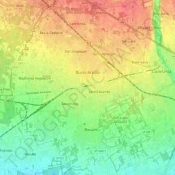
Name: Busto Arsizio topographic map, elevation, terrain.
Location: Busto Arsizio, Varese, Lombardy, 21052, Italy (45.56813 8.80479 45.64263 8.88197)
Average elevation: 722 ft
Minimum elevation: 627 ft
Maximum elevation: 823 ft
Other topographic maps
Click on a map to view its topography, its elevation and its terrain.