
Mosur topographic map
Interactive map
Click on the map to display elevation.
About this map
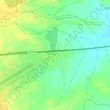
Name: Mosur topographic map, elevation, terrain.
Location: Mosur, Tiruttani, Thiruvallur district, Tamil Nadu, India (13.06390 79.69529 13.10390 79.73529)
Average elevation: 240 ft
Minimum elevation: 197 ft
Maximum elevation: 282 ft