
Oudeschild topographic map
Interactive map
Click on the map to display elevation.
About this map
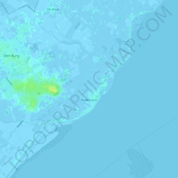
Name: Oudeschild topographic map, elevation, terrain.
Location: Oudeschild, Texel, Noord-Holland, Nederland (53.01169 4.82016 53.07328 4.93244)
Average elevation: 0 ft
Minimum elevation: -13 ft
Maximum elevation: 46 ft