
Bathrait topographic map
Interactive map
Click on the map to display elevation.
About this map
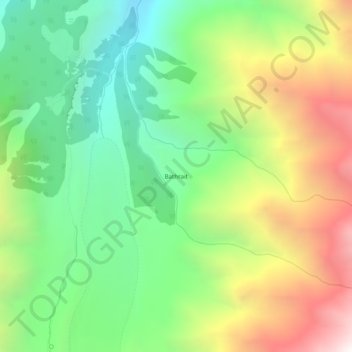
Name: Bathrait topographic map, elevation, terrain.
Location: Bathrait, Diāmir District, Gilgit-Baltistán, Pakistán (35.35215 74.57485 35.39215 74.61485)
Average elevation: 12,034 ft
Minimum elevation: 9,551 ft
Maximum elevation: 15,886 ft