Prends Toi Garde topographic map
Interactive map
Click on the map to display elevation.
About this map
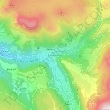
Name: Prends Toi Garde topographic map, elevation, terrain.
Average elevation: 3,921 ft
Minimum elevation: 3,009 ft
Maximum elevation: 5,115 ft

Click on the map to display elevation.
Name: Prends Toi Garde topographic map, elevation, terrain.
Average elevation: 3,921 ft
Minimum elevation: 3,009 ft
Maximum elevation: 5,115 ft