
Imbert topographic map
Interactive map
Click on the map to display elevation.
About this map
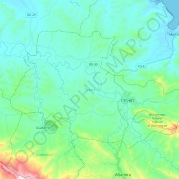
Name: Imbert topographic map, elevation, terrain.
Location: Imbert, Puerto Plata, República Dominicana (19.70317 -70.96051 19.82773 -70.76054)
Average elevation: 600 ft
Minimum elevation: 0 ft
Maximum elevation: 3,432 ft