
Cantón San Isidro topographic map
Interactive map
Click on the map to display elevation.
About this map
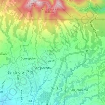
Name: Cantón San Isidro topographic map, elevation, terrain.
Location: Cantón San Isidro, Heredia Province, Costa Rica (9.99631 -84.07592 10.06312 -84.01020)
Average elevation: 4,882 ft
Minimum elevation: 3,993 ft
Maximum elevation: 6,919 ft
San Isidro has an area of 26.96 km² and a mean elevation of 1,337 metres.