
Dar El Hadj topographic map
Interactive map
Click on the map to display elevation.
About this map
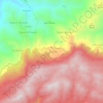
Name: Dar El Hadj topographic map, elevation, terrain.
Location: Dar El Hadj, Harbil, Daïra Guenzet, Sétif, Algérie (36.30544 4.85754 36.34544 4.89754)
Average elevation: 3,835 ft
Minimum elevation: 2,323 ft
Maximum elevation: 4,970 ft