
Lynn topographic map
Interactive map
Click on the map to display elevation.
About this map
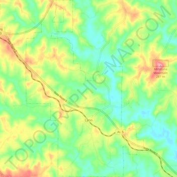
Name: Lynn topographic map, elevation, terrain.
Location: Lynn, Winston County, Alabama, United States of America (34.02094 -87.58449 34.10178 -87.51943)
Average elevation: 666 ft
Minimum elevation: 515 ft
Maximum elevation: 906 ft