
Rosario topographic map
Interactive map
Click on the map to display elevation.
About this map
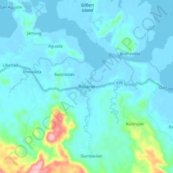
Name: Rosario topographic map, elevation, terrain.
Location: Rosario, Northern Samar, Eastern Visayas, 6416, Philippines (12.48257 124.38530 12.56257 124.46530)
Average elevation: 92 ft
Minimum elevation: -10 ft
Maximum elevation: 679 ft