
Barrhill topographic map
Interactive map
Click on the map to display elevation.
About this map
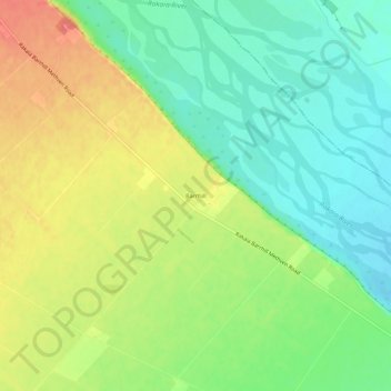
Name: Barrhill topographic map, elevation, terrain.
Location: Barrhill, Ashburton District, Canterbury, New Zealand (-43.69228 171.83088 -43.65228 171.87088)
Average elevation: 656 ft
Minimum elevation: 551 ft
Maximum elevation: 797 ft