
Haditha Dam topographic map
Interactive map
Click on the map to display elevation.
About this map
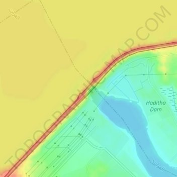
Name: Haditha Dam topographic map, elevation, terrain.
Average elevation: 417 ft
Minimum elevation: 325 ft
Maximum elevation: 502 ft
Other topographic maps
Click on a map to view its topography, its elevation and its terrain.
Haditha
Iraq > Al-Anbar Governorate > Haditha
Haditha, Haditha Central Subdsitrict, Haditha District, Al-Anbar Governorate, 3700075, Iraq
Average elevation: 509 ft