
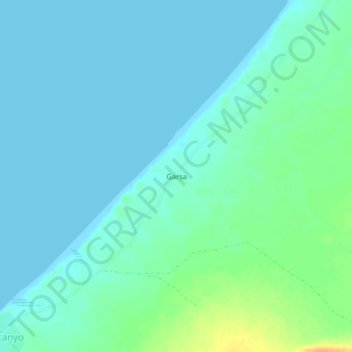
Garsa topographic map
Interactive map
Click on the map to display elevation.
About this map
Name: Garsa topographic map, elevation, terrain.
Location: Garsa, Alula, Bari, Somalia (11.69011 50.45752 11.73011 50.49752)
Average elevation: 23 ft
Minimum elevation: 0 ft
Maximum elevation: 108 ft