
Puck topographic map
Interactive map
Click on the map to display elevation.
About this map
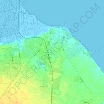
Name: Puck topographic map, elevation, terrain.
Location: Puck, Puck County, Pomeranian Voivodeship, 84-100, Poland (54.70069 18.37660 54.72810 18.43440)
Average elevation: 30 ft
Minimum elevation: -20 ft
Maximum elevation: 89 ft