
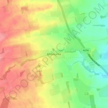
Milbourne topographic map
Interactive map
Click on the map to display elevation.
About this map
Name: Milbourne topographic map, elevation, terrain.
Average elevation: 341 ft
Minimum elevation: 210 ft
Maximum elevation: 469 ft
Other topographic maps
Click on a map to view its topography, its elevation and its terrain.
Medburn
United Kingdom > England > Northumberland > Ponteland
Medburn, Ponteland, Northumberland, North of Tyne, England, NE20 0JB, United Kingdom
Average elevation: 358 ft