
Saattut topographic map
Interactive map
Click on the map to display elevation.
About this map
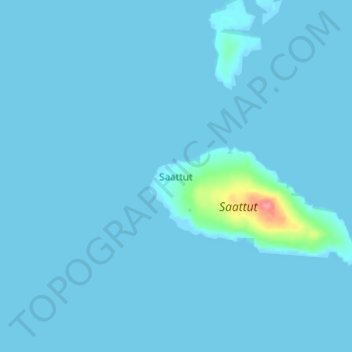
Name: Saattut topographic map, elevation, terrain.
Location: Saattut, Avannaata, Greenland (70.79094 -51.65527 70.83094 -51.61527)
Average elevation: 7 ft
Minimum elevation: -7 ft
Maximum elevation: 230 ft